You will need
- • The computer or the Communicator;
- • The Internet connection.
Instruction
1
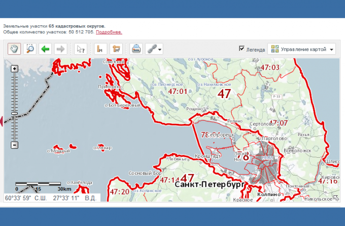
Go to the web page of the service portal of the Federal state registration service, cadastre and cartography. Select the menu item "Public cadastral map".
2
Click in the box to the left of the interactive map and the option "Advanced search". In the window that appears, select "address".
3
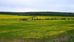
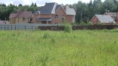
In the popup Windows select from the drop down list the region and locality you are interested in and click the "Find"button.
4
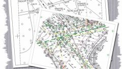
Locate the desired area on an interactive map. To move the map and zoom use the appropriate tool buttons and a computer mouse. Please note that you can set the character objects are displayed on the map. For example, to remove the sign or to select the image objects in the form of satellite images. To do this, click on "Manage card".
5
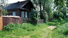
Get information about a particular plot by clicking on the arrow button and the question mark, and click on the desired parcel of land. The screen displays an information window with tabs. On the first tab "map" displays the information you need about land: address of parcel, cadastral number of the area and cadastre number of the plot.
6
Please note that the tabs in this window you can get and other background information, in particular the contact details of serving this section of the bodies of Roselectra, and from the tab "Services" to send us an online request for information about the land from GKN and EGRP.
7
Fill in the form request for information from the OCG or the unified state register (if you need it). The answer to the query of your choice can be provided in electronic form and in paper document which you will send by regular mail. Or you can pick up this document with a personal visit to the relevant territorial Department of the authority of Roselectra.