Instruction
1
The most acceptable way to connect to navigation is the use of features directly from your mobile phone.
First you need to download the necessary maps to navigate in the system cell phone. Maps are available on the official websites of gps systems for all interested users. Then go to the menu item with the navigation, select "Settings" and "Download maps". The phone system will redirect you to the necessary web service. Next, choose a map for a specific region where you live.
First you need to download the necessary maps to navigate in the system cell phone. Maps are available on the official websites of gps systems for all interested users. Then go to the menu item with the navigation, select "Settings" and "Download maps". The phone system will redirect you to the necessary web service. Next, choose a map for a specific region where you live.
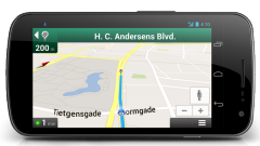
2
Select "Maps" or "Start navigation". After some time there will be the first download. On the screen of KMP or mobile phone you will see a map and point your location. Then you can calculate distances, routes and specify the destination.
3
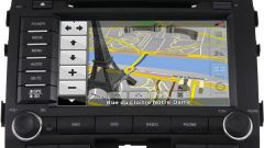
To enable the Navigator GPS device, you'll need to include a map page. Select on the menu page of the app "Navigation" and select "Enter". Then select the "Enable map mode" and again press "Enter". You will see a page with a map where you will flash your current location. If you have problems downloading, please contact the Yandex Maps or Google Maps, as is often the navigation system uses these cards.
4
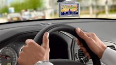
Because the device is primarily used in the car, you will need to install Navigator on the dashboard. Then screw the navigation system using screws that are included. Make sure that the system is connected to all necessary contacts. Most systems can operate on battery power, and then you won't need to connect them to the onboard computer of the car. And some systems still work only with the ignition on. So consider all the features you purchased the system.