Instruction
1
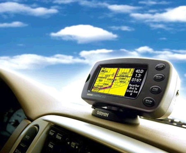
To make use of the device as convenient and comfortable, correctly set user settings. Go to "Menu" and select the "Settings" tab. First of all install the map settings. Then visit the "Cards" section and select the "Top card". Pay special attention to the paragraph "Rotating motion". This is a very important setting. After installing it the picture of the map will rotate according to the movement of your vehicle, that is, the display Navigatorand will repeat the view from the car window.
2
Then go to "Navigation". You will see different types of transport. Of the proposed options (pedestrian, car/motorcycle, truck, etc.), select "Car". Then click "Pull." Attraction is a property of Navigatorand to show your car (determine its location) on the nearest road. You can choose auto mode or to set parameters. The most optimum distance up to 50 meters.
3
Now set the route. Navigate to the appropriate menu. Here you will need to choose one of the proposed routes. This can be a quick route, short, etc., Many motorists prefer the quick route. Thus, the Navigator will lead you on roads, choosing the most fastest way. Short route set if necessary to reduce the distance.
4
Having defined the routes, proceed to the next step. Go to the "What to avoid during the route". You will see something like the following list: u-turns, toll roads, roads with gravel surfaces. Decide that it's better to note. Keep in mind that the fastest route involves selecting the best route option. The road is unpaved it will be offered only if there will be no other options.