You will need
- - a statement in FUSCH;
- - passport;
- - title documents to the land plot;
- - copy plan of lands of settlements;
- - the act of agreeing.
Instruction
1
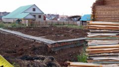
To on your land conducted a survey, contact PWSCC a statement, title documents, passport.
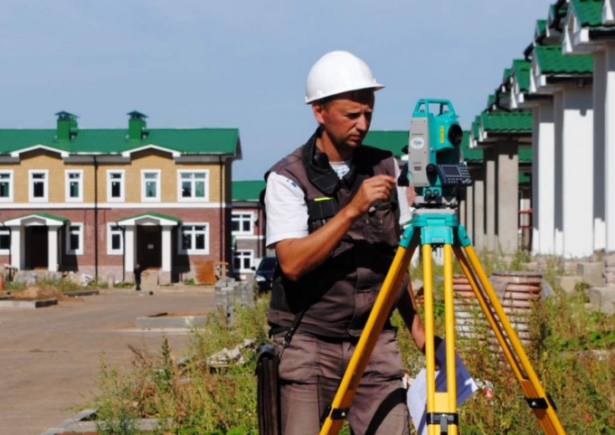
2
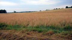
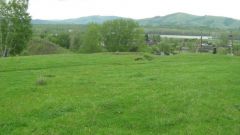
You will come to the cadastral engineer and will conduct all the necessary work. Before you visit a specialist, contact your local authority and get a copy of the plan of the lands of settlements. This document is required for accurate installation of boundary markers on the land and to determine the boundaries with neighbouring land.
3
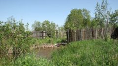
In the process of surveying you to understand there is no need. Specialist in inventory to mark boundary boundary, set the boundary or fence, produce a full description of the boundaries and marked the coordinates on the terrain, plan and map, make a topographical survey of the land and terrain.
4
Based on the work you will be given a package of technical documents. If marked, the actual land area was greater than that recorded in legal documents, you must write to explain the origin of the extra acres.
5
You will also need to submit a written act of negotiation of boundaries with neighbors. Write a document on an ordinary sheet of paper, please list all names of owners or of owners of adjacent land plots, ask them to sign the agreement. Just write "With marked boundaries agree" and sign, date.
6
If one of the neighbors did not sign the act of agreeing, you have to go to court and to resolve all disputes in accordance with the law.
7
With the received documents, please contact PWSCC, complete the application, pay the state fee. The land plot put on the uniform cadastral registration, process all cadastral documents. Get one statement and register the right of ownership in PPRC.
Useful advice
Read all legal acts regulating land relations and the land: Federal law No. 17 and No. 93, with the Government resolution No. 396 and No. 105, with the recommendations of roszemkadastr, with a letter ROSNEDVIZHIMOSTI No. AM/69.