Instruction
1
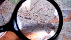
Go to the following website:
http://maps.google.com
http://maps.google.com
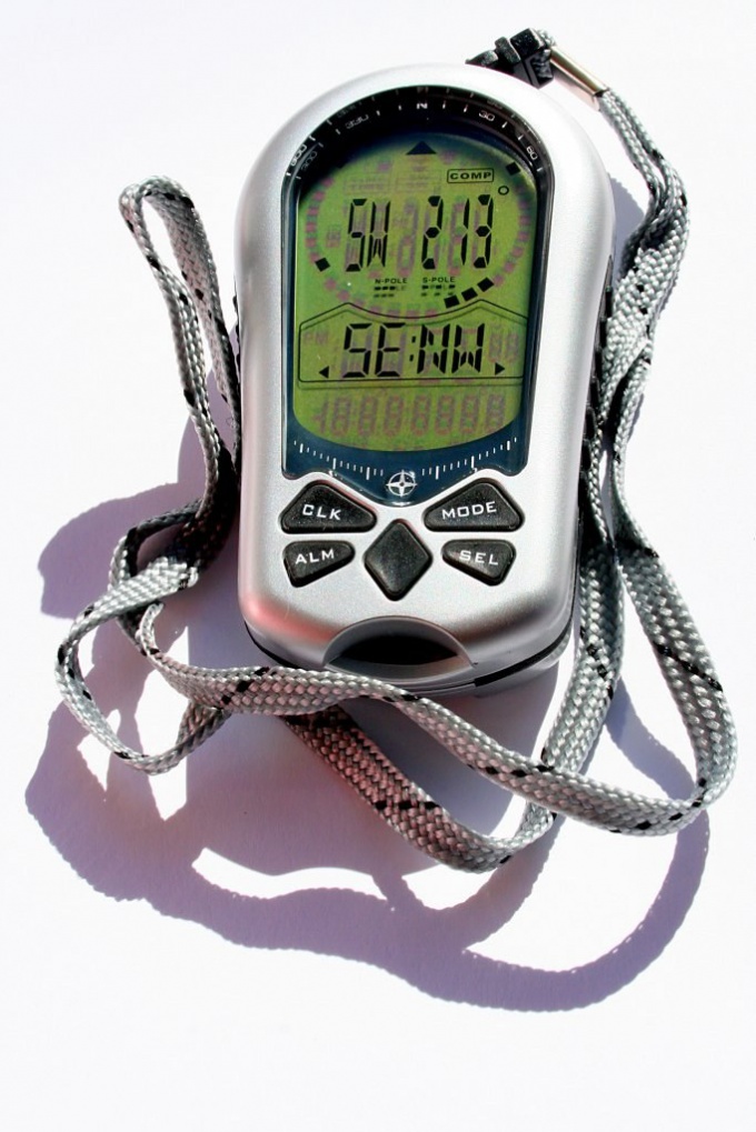
2
On the GPS or phone with integrated navigation receiver to find the menu item that allows to display the numerical values of coordinates (longitude and latitude). For example, in the devices of the Nokia company the location of this point may be: "Apps" - "Location" - GPS Data - Position. Wait until the device will find the satellites and calculate the coordinates. If not, and you are indoors, bring your GPS or phone to the window.
3
In the search bar of Google Maps, enter the coordinates in the following format:
-aaa.aaaaaaaa is bbb.bbbbbbbb, where [ - ] is an optional minus sign (use it only if it is in the original), aaa.aaaaaaaa - longitude (two or three characters to the point of five to eight digits after the point), bbb.bbbbbbbb - the latitude (in the same format).
-aaa.aaaaaaaa is bbb.bbbbbbbb, where [ - ] is an optional minus sign (use it only if it is in the original), aaa.aaaaaaaa - longitude (two or three characters to the point of five to eight digits after the point), bbb.bbbbbbbb - the latitude (in the same format).
4
Please note: the integer and the fractional part are separated from each other by dots, and the longitude from the latitude with a comma. Before the dot and after the gap should not be too before the comma and after the comma must be a space. Specify the longitude before latitude. If Navigator has an English interface, the word longitude indicates the longitude and latitude is the latitude.
5
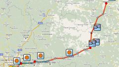
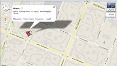
Click the blue button with the magnifying glass, located next to the search string. You can press the Enter key on the keyboard. On the left you will see information about the object located at the specified point (street, city, country), and the right portion of the map. The object itself will be indicated by the inverted drop of red with the letter a in the middle.
6
If necessary, adjust the scale display buttons with plus and minus. To see a satellite image of the location and switch the map mode to "Satellite" or "Hybrid". If you do not see anything, zoom out. For some areas the available pictures taken from the plane. They are more detailed than satellite.