You will need
- - map or globe;
- - the electronic map;
- - satellite Navigator.
Instruction
1
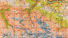
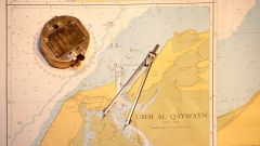
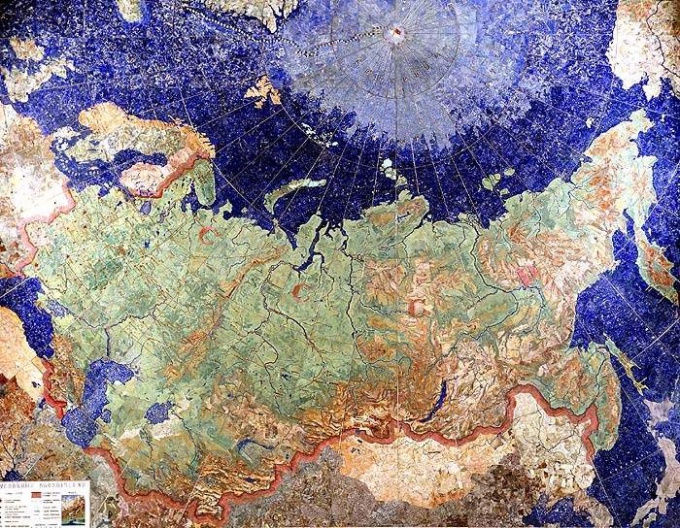
In order to determine the geographic coordinates of points, draw a map showing meridians and Parallels. Remember, the more frequency of these lines and more map, the better you will be able to determine the latitude and longitude that make up any coordinates.
2
To find latitude, use horizontal lines drawn on the map – parallel. Determine a parallel is your point, and find its value in degrees. Around each of the horizontal parallel is the symbol in degrees (left and right). If the point is located directly on it boldly concludes that its breadth equal to this value.
3
If the selected location lies between two Parallels that are listed on the map, determine the latitude closest Parallels and add to it the length of the arc in degrees to the point. The length of the arc count with the help of a protractor or around the eyes. For example, if a point midway between the Parallels 30º and 35º, then its breadth is equal to 32.5 º. Put the symbol N, if the point is located above the equator (North latitude) and the symbol S, if it is under the equator (South latitude).
4
To determine longitude you will help the meridians – vertical lines on the map. Find Meridian closest on the map to your point and see its coordinates arelisted at the top and bottom (in degrees). Measure with a protractor or estimate by eye the length of the arc between the Meridian and the selected place. Add the obtained distance in degrees to the longitude value and get the longitude of the required point.
5
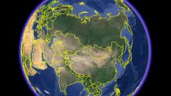
Computer with Internet access or electronic card will also help to determine the coordinates of the place. To do this, open the map, such as http://maps.rambler.ru/, then type in the top window the name of the location or select it on the map using the cursor (located in the center of the screen). Look in the lower left corner indicate the exact coordinates of the point.
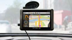
6
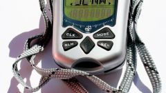
To determine the coordinates on the terrain, bring a satellite navigation system. Here you will be able to determine the coordinates of its location and geographic coordinates of any pointindicated on the map.