Instruction
1
Subject to finding required destination within a specific locality specify only the mail address with the names of cities and streets, rooms of the house (flat). This purpose get to travel, set your car Navigator, which is currently represented at various levels of hardware complexity and cost. Set the data type in the Navigator, which itself will pave the optimal route. When traveling, follow the guidelines displayed on the display device. But do not trust him 100%. For the opportunity to personally ask about the movement of other drivers and pedestrians.
2
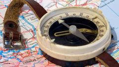
To determine the coordinates of its location means install the intersection of longitude (East or West) and latitude (North or South) showing the digital expression of the desired Meridian or parallel with the required accuracy to degrees, minutes or seconds. For this purpose, use public services provided to individuals official providers information satellite systems, the Russian GLONASS or us GPS.To map a specific place, take a reference location relative to two (possibly more) long-term fixed objects and landmarks that are available in the area. As these benchmarks use solid structures, and artificial landscape features (ditches and rivers). The binding location perform by specifying the guides of the motion vectors of the selected reference points. Guidelines for the direction of motion detect or according to compass directions, or by way of motion that must change in strict accordance with the existing map.
3
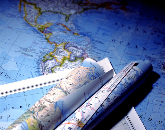
Directly on the ground, always use small-scale maps, and to establish the ways possible approaches — use a medium-sized location plans.