Instruction
1
Use Google Earth. For this you need computer or laptop connected to the Internet. Click on the link http://www.google.com/intl/ru/earth/download/ge/agree.html. Click on the "Accept and download" and follow the instructions to install the program Google Earth.
2
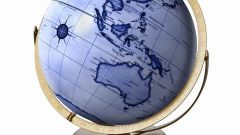
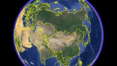
Run the program and wait until the screen appears the image of the globe. Pressing and holding the left mouse button, rotate the Orb so that the area where you are, was right in front of you. Using the mouse wheel to gradually bring the image of the ball's surface, gradually changing the scale in the direction of increase.
3
At first the image will be severely blurred and pixeltan. Do not pay attention to it, as gradually the picture will become clearer: it is loaded into the cache on your computer for more detailed photos of the area.
4
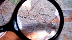
Note the numbers at the bottom of the screen. They show current coordinates: latitude, longitude and altitude above sea level. These figures vary depending on where you move the cursor.
5
Continue to adjust your location by moving the mouse cursor while holding left button and zoom in with her wheel until, until you find the image of the surrounding area. You can even see the house where you are, cars and people captured by a camera at the time when I take pictures.
6
When you see on the image place your immediate location, note the coordinates displayed at the bottom. This is what you need. Place a link to a point within the service or send the coordinates to friends in text form. They will be able to find you through the search coordinates in Google Earth or by typing the link in the memory of his Navigator.