You will need
- Internet access
Instruction
1
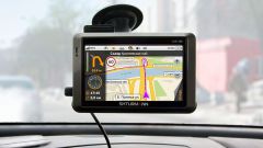
Go to Google and click on the word "Map" which is at the top of the search engine.On the right side you will see a map and the left two buttons: "Routes" and "My places". Click on "Routes". Below it will appear two Windows “A” and “b”, that is, the start and end points of reference.Let's say you are in Ufa, and you need to know how much time it will take to get to Perm. In this case the window "And" enter "Ufa" and the window "" - "Perm". Click again on the button under Windows "Routes".The map shows the route, and the Windows “A” and “b” how many miles from one city to another, and also how much time you should spend to reach by car.If you are interested in Hiking, click the button with the image of pedestrian, which is over the Windows “A” and “b”. The service will rebuild the route and automatically calculates distance and expected journey time.
2
In the case where it is necessary to measure distance from point “A” to “B”, in one locality, should act according to the above scheme. The difference lies only in the fact that the name of the area you want to add a street and possibly the house number by a comma. ( For example, “A”: Moscow, Tverskaya 5, and V: Moscow, Tsvetnoy Boulevard, 3).
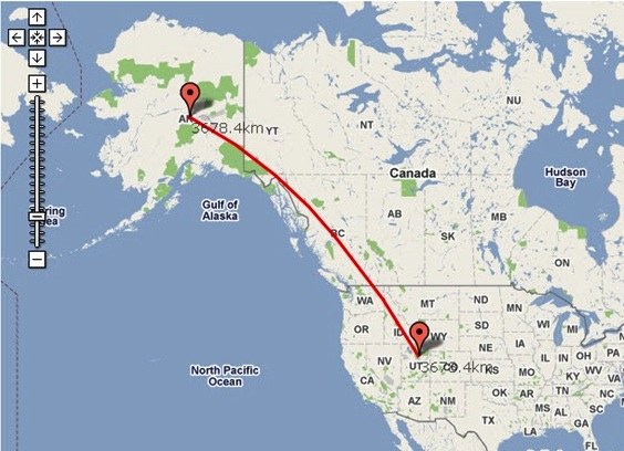
3
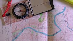
There are times when you are interested in the distance between the objects "directly": through fields, forests and rivers. In this case, click on the icon toothed ring in the upper corner of the page. In the resulting expanded menu, select "Laboratory Google Maps" and turn on the tool to measure distances, save the changes. In the lower left corner of the map there was a line, click on it. Indicate on the map the starting point, and then endpoint. Between these points on the map a line will appear red and the panel on the left side will show the distance.
Useful advice
- you can choose one of the two units of measurement: kilometres or miles;
- clicking on several points on the map, you can determine the distance between multiple points;
- if you access the service using your profile, Google maps will remember your setup in the Laboratory of Google Maps.
- clicking on several points on the map, you can determine the distance between multiple points;
- if you access the service using your profile, Google maps will remember your setup in the Laboratory of Google Maps.