You will need
- Compass, camera, computer, specialized software to create maps.
Instruction
1
The quality of the maps and the scale depends not only on the experience of the author, but also on the quality of the photos taken, if the program uses photography as a source. Often create maps for GPS, i.e. with the possibility of routing. They are made on the basis of the vector image, because if the source is a bitmap, i.e. an image? consisting of pixels, when you zoom in the quality will decline and you can see that either will be very difficult.
2
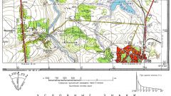
To create maps to use a special program – GIS (Geographic Information System). Is a software product that provides users with search capabilities, edit the maps and add additional information about the objects (the height of the building, address, number of occupants, etc.).
3
GIS allows to manage the DBMS has a built-in editor of vector and raster graphics, and analytical tools that can be used not only in cartography but also in other industries. Maps are stored in electronic form and on request you can have them printed. To find the GIS program on the Internet, enter an appropriate query in a search engine, for example: "a popular GIS software", and choose the most comfortable according to users.
4
To create 3D maps use AutoCADMAP 3D. The program has a wide range, so not particularly easy to use. But if you read the literature, all seem quite easy and feasible. AutoCADсоздает vector image is actually a mathematical description of feature primitives to cut, for example, the coordinates of its start and end points, and the image re-scaling is recalculated and redrawn, so quality loss is minimal.
5
Without specific knowledge of GIS and cartography, to make a map of the area you will not succeed. So read the necessary literature before buying software and use the forums, tech support and all possible ancillary materials.
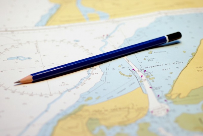
6
But for creating normal maps need a compass. For starters install guide – it could be a tree, a river, a swamp or a lighthouse, the tower, etc. For proper orientation on the map, you associate the map image with the real objects. Installation guide for the compass on the map is mainly used for areas where it is difficult to find a benchmark (forest, desert).
7
After determining the reference point select the direction of travel and azimuth. If the path is not a straight line, it is necessary to accurately determine the distance and after the passage to change direction. Or select the landmark on the map, locate it and then change the direction of movement from him.