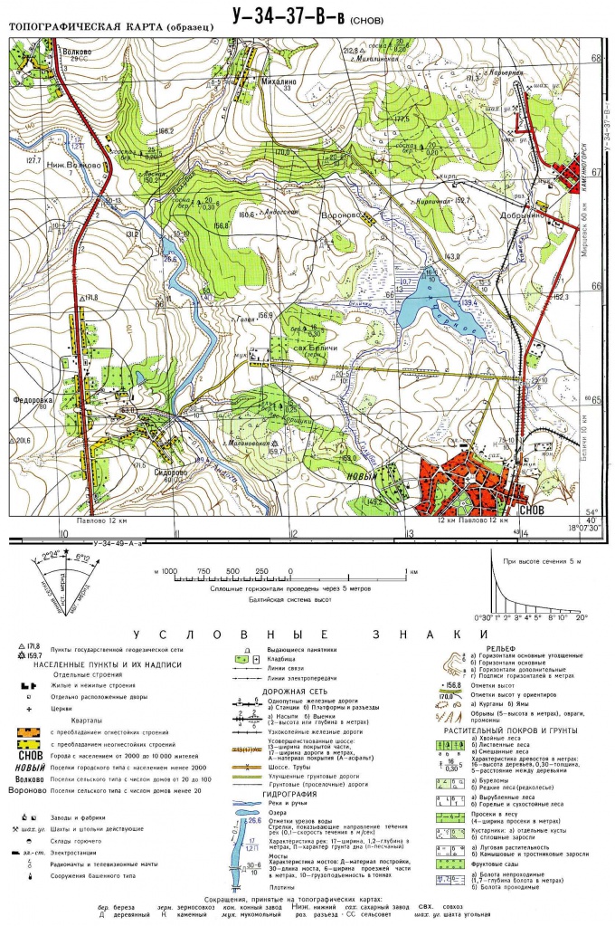
You will need
- A map of the area and a collection of symbols for a given scale.
Instruction
1
The description of any card begins with an analysis of the hydrographic network, i.e., description of all water bodies. These include rivers, lakes, ponds, reservoirs, canals, wells and springs. In the description of the rivers you must specify the location of the object on the map sheet (in which part of the map is a river, the direction of flow, navigability (and another business using this hydrographic object). You also need to specify the type of river food, freshness, whether the river is permanent or intermittent. In the description of other hydrographic objects simply specify their location on the map sheet, the freshness or salinity, the average area. At the end of the analysis of the hydrography, it is necessary to specify the security this area of freshwater resources.
2
Next, move to the description of the terrain. Determine the highest point, list them and give a description of the overall topography (plateau, low mountains, plains it.d.). Determine the direction of slope of the terrain and the maximum height difference. If on the map there are large ravines or career, give information about their location on the map. Next, move to the description of smaller landforms pits, clusters of stones. Also, if you need to report about the ruggedness of the terrain Hiking trails.
3
The next point of analysis of any card (plan) of the area is a description of the vegetation. Indicate the type of vegetation, the approximate coverage area of plantations and the formula of the stand (it is specified next to the symbol). Point natural (forests and reserves) and cultural (gardens and plantations) plantations.
4
In the description of any card you need to pay special attention to road network. You must specify the length and direction of roads and Railways, regional, regional, or Federal significance. Then describes the most extensive routes and the highway of local value. If necessary, carry out an analysis of pedestrian dirt roads. At the end summarize and indicate the density of roads for various purposes and conclude that cross the area.
5
Next, move to the description of the urban data. Name the most major settlements, the approximate size, socio-economic buildings (factories, space development, mining, etc.). Also indicate the most important social building (theatres, museums, monuments, regional or regional significance).
Note
Before beginning the description of any location you need to specify the alphanumeric code of the map, the territory which she displays her character and the purposes for which it is used.