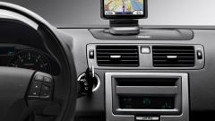
Instruction
1
Make sure your phone supports the GPS function, work with Java. Otherwise, any attempt to use the phone as a Navigator will be absolutely useless. Generally the phone functions described in the manual or on the manufacturer's website.
2
Install on phone cards if they are not in the standard device. Maps can be downloaded on the websites of the Yandex.Maps, Google Maps, Navifon, Mail.Maps, Navitel. The first four maps are free applications, whereas Navitel – card surcharge. For downloading maps cell operators charge a certain amount, which you can check with your service provider.
3
Turn on the mobile GPRS and go to any of the above sites. Before downloading select your phone model and installed on an operating system. Otherwise, in the cards, you may experience glitches. You can download maps to your computer and then install them through the phone.
4
Remember that if you are interested in the condition of the road, e.g. traffic congestion, then you will need to have Internet connection. Be prepared to pay for traffic. Some apps do not require access to the world wide web, if the owner just need to see the location of any object.
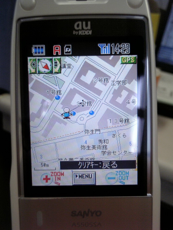
5
Be aware that the Nokia phones have built-in card. Special settings, these phones do not require. Just go to an open space, wait 3-5 minutes and begin to use them. It should be noted that the same features are iphone.
6
Update maps in a timely manner, to avoid confusion in the new area. Development and mastering of new territories today is incredibly fast. In addition, the new version of maps will work faster and more efficiently, and therefore more accurately show the location of the desired object.