You will need
- - drawing areas;
- pencil.
Instruction
1
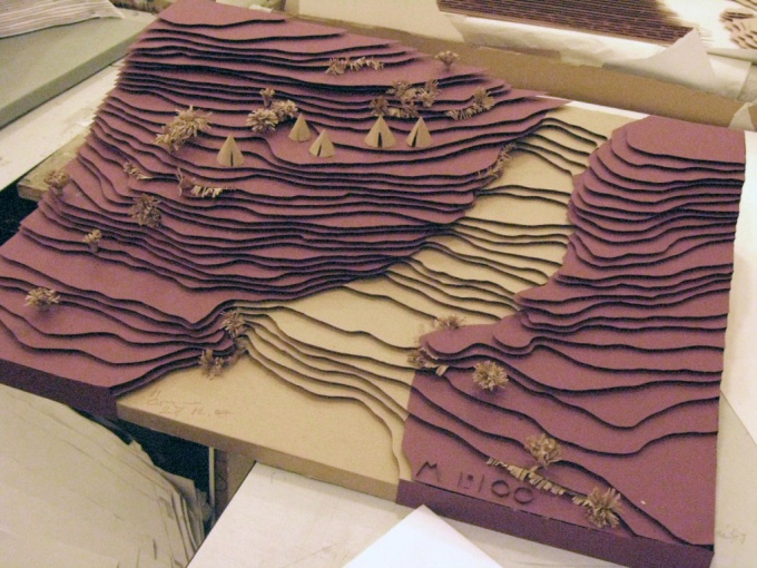
In order to build a profile of any direction, on a survey plan or map should draw the line, where to celebrate and define horizontally its intersection with the excesses of rays and vertices with heights. Points that, you'd have to transfer the drawing to the line of the base of the profile and to restore them perpendicular to the base. The perpendiculars need to postpone the relative height of the point or points on those that have the smallest absolute height. Points that need to happen to connect with a smooth curve. This curve and show the profile of the terrain in the chosen direction. Similarly, you can make the drawing profile according leveling.
2
To draw the terrain terrain help horizontal lines on the map or plan which connects points with absolute height and the point on the surface of the earth. The horizontal line is the basic, additional and auxiliary. The main horizontal line is the lines that are behind one another on a specific for the selected card or plan of the section height of the terrain.
3
Horizontal, which is carried out via ? the main section is called additional. Minor contour of arbitrary cross-section are plotted on the height needed for a good display of specific forms of relief. The main draw horizontal closed solid line. Color take with a brown. The dotted line shows an additional horizontal. But if the map has symbols: rivers, streets, roads, clearings, which are drawn as lines, horizontal they must not cross.
4
To make the map readable and easy to determine the height of the terrain, the contour is divided into five (1/10, 1/5, etc.), you need to draw a thickened line is 0.25 mm, when the conventional horizontal draw 1/10 mm thick. For readability of the map or plan, on the horizontal can be applied bergsig that show which side goes SKAT, and are signed by the height of the horizontal.
5
The height usually sign in those places where there is a gap horizontally, and position them so that it was convenient to read, besides the top of the numbers should be facing the rise of the slope. Berhshtryhy imps with a thickness of 1/10 mm and a length of 1 mm. When drawing terrain terrain it is necessary to observe not only the established symbols, but also to choose the right color.