Instruction
1
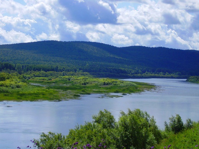
Define fall river. This auxiliary indicator is calculated as the difference of altitudes of areas, where the source and the mouth of the river. For example, the Angara river flows out of lake Baikal, the absolute height at this location is 456 meters above sea level. Flows into the Angara into the Yenisei at the point where the height is equal to 76 meters above sea level. Thus, the fall of the river is 456-76=380 meters. Remember that when calculating this index for rivers flowing into the seas and oceans, the absolute height of the mouth should take 0.
2
Find out the length of the river channel, i.e. its length. This information can be found in statistical reference books and encyclopedias. For example, the length of the Angara river is 1779 miles. As a rule, in conditions of challenges of geography in the eighth grade in the calculation of the slope of the river provide information on the length of the river, and drop you need to identify yourself.
3
Calculate the gradient according to the formula:
Gradient=Fall river/Length of river.
For this we Express and the rate of fall of the river, and its length in the same units of measure, for example, in kilometers or, Vice versa, in meters. Translation in one of the units will allow us to calculate the gradient in percent or ppm. In the case of Angara river and enjoy the following value of the slope of the river:
The slope of the Angara river=0.38 km/1779 km=0,0002136 or 0,02136% or 2,136 ‰.
4
Interpret the obtained value of the slope of the river and test yourself. Bias 2,136 ‰ means that the section length of 1 kilometer of elevation at which the river changes by 21.36 inches. If you got a too big value of the slope of the plain of the river, then a calculation error has crept in.
5
Remember that the average slope of the river, i.e. the factor calculated for the entire length of the channel, uninformative. It is better to calculate this indicator for shorter stretches of the river.