You will need
- - GPS-Navigator;
- - personal computer;
- a paper map.
Instruction
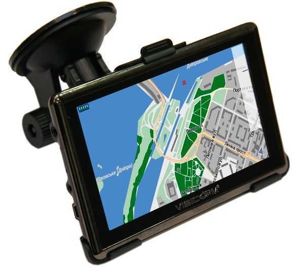
1
Consider how you will install the new card. You can scan and upload as images you download from the Internet or buy the software package with pre-installed maps. Turn on the Navigator, then select the desired option add to menu, new maps of the several proposed.
2
On the website of the manufacturer of the Navigator get a map of the desired area. Versions of cards, both European and other countries, there are many. One part is already included in Navigator, but some others must be purchased separately. Maps of some certain places, you can find online, and quite fast for keywords.
3
Connect the navigation device to a personal computer through the cable provided. Navigator will scan the hard drive of your PC for new cards, and then will automatically start to upload them.
4
If you have a paper map of the desired region, scan it. Map place possible so that she was oriented to the North.
5
Then, save the scanned image in JPEG format as most GPS supports viewing the images in this format.
6
On the paper map, determine key points in this area, find out their coordinates (latitude, longitude). The obtained data record in a list in a text file created on a computer. Save the file in HTM format.
7
On your GPS device, create a new folder. Now with a computer it will download the picture cards and lyricist with coordinates. To view the downloaded map, select it from the list in the corresponding menu. Make sure that the device reads the coordinates that you specified, and the picture can be seen clearly and brightly enough. This method is certainly more time-consuming than downloading maps from the Internet. However, he has the right to life and you can cool to help out in that case, if a particular map you find the Internet will not be able or you just don't have access to it.