Instruction
1
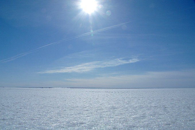
To determine cardinal directions on a clear day, you need to know when the sun will be at its Zenith. Take a stick and stick it in the ground, then mark a line of its shadow.
2
Periodically measure the length of shadows from sticks. You can use a rope with knots or just do the tick marks on the earth. And at the very moment when the shadow of the stick will be as short as possible (not more than 7cm), the sun will be at the highest point, i.e. at the Zenith.
3
Now you can easily navigate the terrain. Be aware that if you turn the sun back, then in front of you is North, behind you will be South, left is West and right is East.
In this simple way, you can determine the right direction and maybe save his life.
In this simple way, you can determine the right direction and maybe save his life.
4
Theoretically, the Zenith can be calculated by the formula h = 90° - φ + δ, where h is the height of the sun above the horizon, φ is the latitude of the place of observation, δ - declination of the sun in a given day.
5
Accordingly, if h > 90°, then the sun on the other side from the Zenith at an altitude of 180° - h. Simply put, the latitude of the place of observation should be equal to the declination of the sun, then it will pass through the Zenith.
To determine the declination of the sun according to the date information can be found in the Astronomical calendar.
To determine the declination of the sun according to the date information can be found in the Astronomical calendar.
6
If you need just the figures of the Zenith of the sun in a particular locality at a certain time of the year, you can go to the website of Metastatistics. for example, http://barnaul-meteo.ru/alejsk/pivot/solar-geometry.
Such resources contain data of perennial observations and, in particular, the average cosine of the Zenith angle of the sun, the average Zenith at Greenwich, the average maximum angle of the sun relative to the horizon. This indicator is expressed in degrees.
Such resources contain data of perennial observations and, in particular, the average cosine of the Zenith angle of the sun, the average Zenith at Greenwich, the average maximum angle of the sun relative to the horizon. This indicator is expressed in degrees.
Note
The day when the Zenith sun is in the Northern or southern tropic is called the day of the winter or summer solstice (22 June and 22 December). At this time in one of the hemispheres there is the shortest day and the other the shortest night. In the days of equinox day and night are equal at any point except the poles and the Zenith of the Sun is on the equator.